ATGVIDEO
Home
Hot video
Now watching
Search
News
Sport
Music
Games
Humor
Animals
Movies
Auto
Home
Short Tutorials Done Quick
Short Tutorials Done Quick
Latest Videos
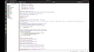
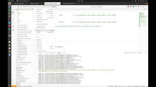
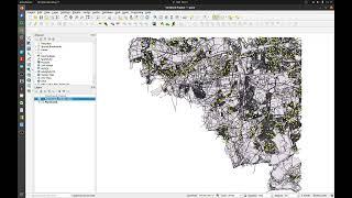
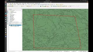
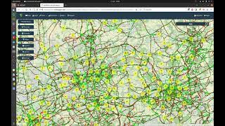
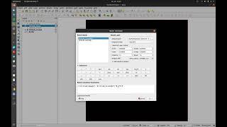
#54 - QGIS - Find double geometries with an easy sql query
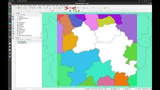
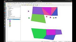
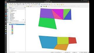
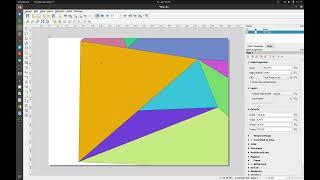
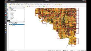
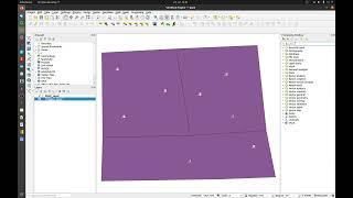
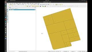
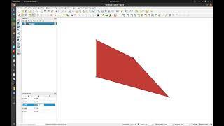
#55 QGIS - How to create a polygon from random points
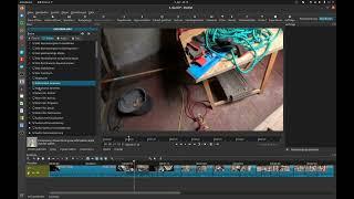
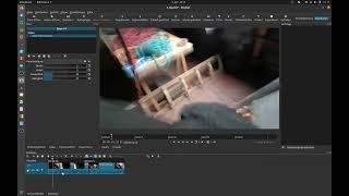
#5 ShotCut - Export only a part of your complete track
#1 Audacity - How to export multiple files out of a single track
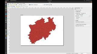
#53 QGIS - How to set rastercolors transparent
#3 Shotcut - How to save a custom preset for a filter
#4 Shotcut - How to apply a filter to the entire track
#6 Linux - How to setup simple alias commands
#5 Linux - How to setup your second screen
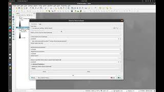
#52 QGIS - Reset the primarykey of textfields
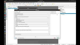
#51 QGIS - Textfield backgroundcolor like the related polygon
#50 QGIS - How to display a dynamic scale text
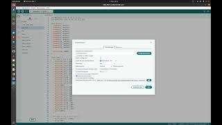
#2 ESP - How to compile your own Tasmota bin files
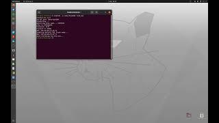
#1 ESP8266 - How to flash Tasmota on an ESP8266
#2 Arduino - How to use the Arduino IDE for ESP8266
#49 QGIS - Change the scale by grid and an atlas view
#48 QGIS - How to use a grid for an atlas view
#47 QGIS - Display only the current features in the atlas view
#46 QGIS - Overview in an altas print layout
#45 QGIS - How to create an atlas print layout and export it
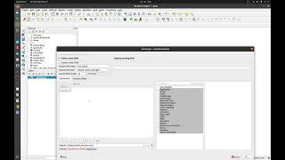
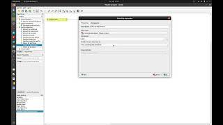
#44 QGIS - How to replace Quotes and double Quotes with the field calculator
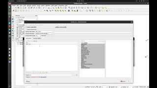
# 43 QGIS - Calculate attributes by location
#42 QGIS - How to calculate a catchement area and a stream network with GRASS
#41 QGIS - How to deal with invalid shapefile geometrys
#40 QGIS - Model Designer invert feature selection
#39 QGIS - Convert the rotation style from ArcGIS into QGIS
#38 QGIS - How to use the Graphical Modeler to dissolve touching polygons
01 Off Topic - How to find your transmission tower with the GigaCube
#37 QGIS - How to dissolve touching Polygons and split them
#36 QGIS - How to install LAStools on Ubuntu with Wine
#35 QGIS - How to add XYZ Files easy into QGIS and convert it into DEM Raster
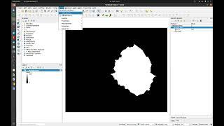
# 34 QGIS - Convert a Raster to Vector 2
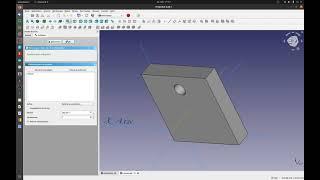
#1 FreeCAD - Polar Pattern out of the originaxis
#33 QGIS - Convert Raster to Vector
#32 QGIS - SAGA Channel Network and Drainage Basins
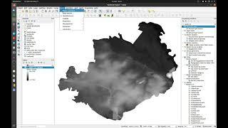
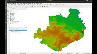
#31 QGIS - DEM visualization
#30 QGIS - Compress and change the data type at a rasterlayer
#29 QGIS - Categorized Symbology for Layers with one and two or more values
#28 QGIS - Join a CSV-File to a Shape-File
#2 Shotcut - How to play a clip reverse
#4 Linux - Format an USB-Stick or portable harddrive
#3 Linux - Use fsck to check a portable harddrive
#27 QGIS - How to make a simple easy and quick sketch
#1 OBS - How to use one Webcam in different scenes with different filters
#25 QGIS - calculate DEM Volume
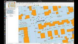
#26 QGIS - exact geometry edit
#24 QGIS - Merge a trench into a Rastertile
#23 QGIS - How to change the raster resolution 2
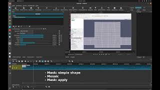
#1 Shotcut - Pixelate areas in clips
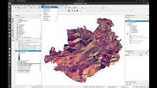
#22 Qgis - How to add Rastervalues to a Polygonlayer