ATGVIDEO
Home
Hot video
Now watching
Search
News
Sport
Music
Games
Humor
Animals
Movies
Auto
Home
Основы программирования для географов
Основы программирования для географов
Latest Videos
Geo-Py in Urban Analytics. Data Classification For Choropleth Maps
Geo-Py in Urban Analytics. Data Aggregation Fishnet Grids H3
Geo-Py in Urban Analytics. CRS Population Density Map
FlexGIS. QGIS плагин
Geo-Py in Urban Analytics. Reading and exporting OSM data geoPandas osmnx.
Geo-Py in Urban Analytics. Intro. Jupyter Notebook in VSCode.
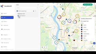
FlexGIS. OSM AI Widget. Part 3 Population
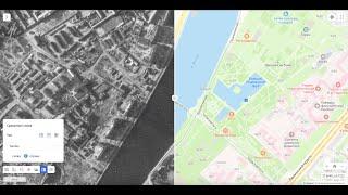
FlexGIS. Сравнение сегодняшней Москвы с ретро-картой. Ссылка на приложение в описании
FlexGIS. OSM AI Widget. Part 2
FlexGIS. OSM AI Widget. Part 1
FlexGIS. Мастер-класс. Обзор платформы v. 2.0
09. Python in QGIS3. Python plugin. Part 2.
08. Python in QGIS3. Python plugin. Part 1.
07. Python in QGIS3. Custom Python tools.
06. Python in QGIS3. Custom Python expressions.
04. Python in QGIS3. Run geoprocessing tools.
05. Python in QGIS3. Symbology. Vector layer.
03. Python in QGIS3. Raster layers. Add Renderer
FlexGIS. Мастер-класс. Обзор платформы v.1.5
Supermap 03. Экспорт и компоновка карты
Supermap 02. Построение тепловой карты
Supermap 01. Основы работы. Добавление слоев
FlexGIS 07. Настройка слоя. Картодиаграмма Тепловая карта
FlexGIS 06. Настройка слоя. Стилизация Кластеризация
FlexGIS 05. Настройка слоя. Фильтрация Подписи Инфоокно
FlexGIS 04. Добавление данных на карту. Вектор и растр
FlexGIS 03. Создание и публикация веб-гис приложения
FlexGIS 02. Конструктор веб-карт
FlexGIS 01. Обзор платформы
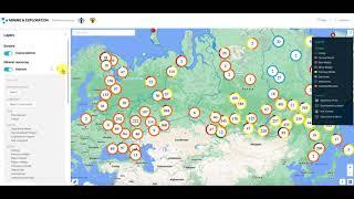
Страховые риски
03. 2GIS API. Places API Geocoder API Cluster layer
02. 2GIS API. Transport. Routes Isochrones Traveling salesman problem
01. 2GIS API. Creating an App. Map Marker Tooltip Map Style
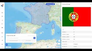
05. R + GIS. DATA.MOS.RU Export data
02. Python in QGIS3. Read Add Delete Update Features. Vector Layer
01. Python in QGIS3. Vector layers. Selection. Features
Mining + GIS
04. R + GIS. R Markdown. Documents Presentations. US Elections
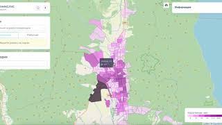
Мониторинг данных мобильных операторов
03. R + GIS. OSRM Routes Travelling salesman problem
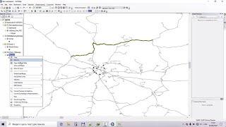
Python in ArcGIS. Network Analyst. Part 2
Python in ArcGIS. Network Analyst. Part 1
02. R + GIS. Functions OSMData Tmap Grids
01. R + GIS. DataFrames Tables Maps
QGIS + GeoServer. Layer publishing
01. React + OpenLayers. TypeScript. Map VectorLayer
06. React + Leaflet. Redux
05. React + Leaflet. Ant Design
04. React + Leaflet. Functional Components. MarkerCluster
03. React + Leaflet. Component Lifecycle. Geojson